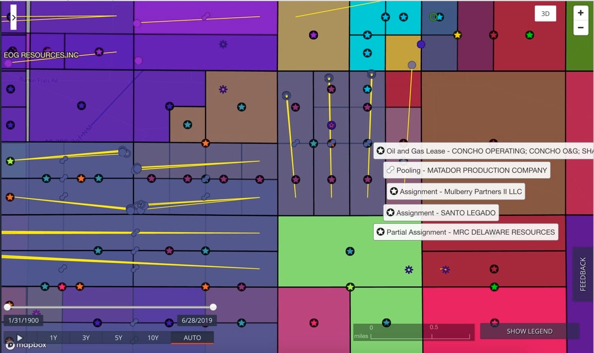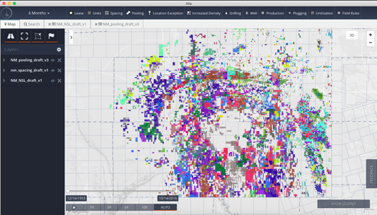
New Mexico is rich with opportunity, particularly within the western-most portions of the Permian Basin which is by far the largest producing onshore oilfield in recent history. However, the regulatory landscape is extremely complex creating confusion and limited visibility into leasing, drilling rights, royalties, ownership and obligations.
In the New Mexico Permian, you’ll find:
Each ownership type presents its own regulatory and contractual challenges that can be difficult to keep up with, especially if you want/need to drill across a ‘mixed-ownership’ position. Understanding the nuances of the various requirements in this mixed environment is critical to operate in this state, and to benefit from the cornucopia of ancillary information that is available, but not readily accessible, from these regulatory filings.
Additionally, New Mexico supports Compulsory Pooling on Fee mineral acreage, allowing Operators to combine interests for the purposes of drilling. These Pooling Applications are sometimes filed long before a drilling permit, providing a leading indication of activity in addition to a breakdown of Working Interest, Mineral Interest and Overriding Royalty Interest owners in the Pooled area.
This highly valuable data from the New Mexico Oil Conservation Division (OCD) is extremely difficult to access, and even harder to extract. So, we did the heavy-lifting for you!

Our Artificial Intelligence & Machine Learning technology extracts structured data from “unstructured natural language” (i.e. written in English) documents. Using proprietary “domain models” (i.e. we have professional landmen who train the system how to interpret oil & gas documents) we’ve scoured and structured the publicly available records to bring you a high-quality New Mexico dataset that offers:
Here’s how our customers are already taking advantage of this new, exciting dataset:
The Delaware Basin doesn’t stop at the State line; this new dataset complements our existing coverage in Texas to provide the most comprehensive view of the Permian in the industry. A subscription to Atla with a license to our New Mexico data provides access to:
The Permian basin in New Mexico has approximately 5,400 square miles of Federal, 3,800 square miles of State, and 3,600 square miles of Private mineral acreage presenting regulatory challenges for E&P Operators wishing to develop and produce in the state. One of the most important regulatory conditions Operators must address is the concept of “forced pooling”, whereby an Operator who doesn’t have voluntary agreements with all interest holders in a particular area can still legally combine those interests, without the interest holder’s consent, for the purpose of drilling a well.
© 2019 oseberg. All rights reserved. privacy policy